During a carefully staged appearance at Kennedy Space Center yesterday, President Barack Obama rolled out his plans for the U. S. space program. Although there weren’t many surprises (the White House Office of Science and Technology, under the direction of John P. Holdren, had released a fact sheet days earlier outlining details), one startling part of the speech was that we are abandoning the Moon as a goal. Though hinted at in several statements by people around the President, including NASA Administrator Charles Bolden and Apollo 11 Astronaut Buzz Aldrin, a path away from human return to the Moon is now officially the direction of Obama’s space policy.
Given the topic of this blog, it shouldn’t surprise many of you to learn that people are calling and writing me, asking for my reaction to the new policy. Although it wasn’t much of a surprise, it is disappointing to me, but not for the reasons you might suspect.
"Given the real and potential benefits of lunar return, the question is no longer “Why the Moon?” but “Why bypass the Moon?” I’m glad that “Buzz has been there” but that fact is irrelevant to either the value or the desirability of lunar return."
The speech detailed aspects of the administration’s
new space budget, which will eliminate
Project Constellation, contract with commercial entities for human transport to LEO, and spend money for development of new technology so as to “revolutionize” our access and capabilities in space. The Moon was finally mentioned near the end of the speech and I felt it would be fitting to use the
President’s own words as the title for this post, and then give my views of the Moon’s place in the template of space exploration.
I’ve heard the “been there” line many times since 2004 when President George W. Bush announced the Vision for Space Exploration, so hearing it one more time was not a particularly jarring experience. But stop for a moment to consider exactly what President Obama said. Lunar return critics give many reasons to NOT go to the Moon: they think that it’s scientifically uninteresting, it doesn’t contain what we need, it will turn into a money sink (preventing voyages to many other destinations in space – perhaps one on their list), that there are more pressing needs here on Earth, and I’m sure others that I haven’t yet heard. But this new space policy rationale is unique and carries with it different and significant implications for our nation’s exploration of space.
We have now added a new requirement for U.S. space missions – we must go to a place never before visited by humans. Of course, some will argue that such a concept is implicit in the word “exploration” but until recently, exploration encompassed a much wider concept where exploration was followed by exploitation and settlement by many people from many walks of life using many different skills toward a myriad of goals. I wonder if supporters of this new space policy have stopped to consider the implications of the “not been there” requirement. The new meaning of exploration contains within it the seeds of its own termination: after you’ve touched the surface, planted a flag, and collected some rocks or deployed an instrument, that destination is “done.” Or does such a formulation apply only to the Moon?
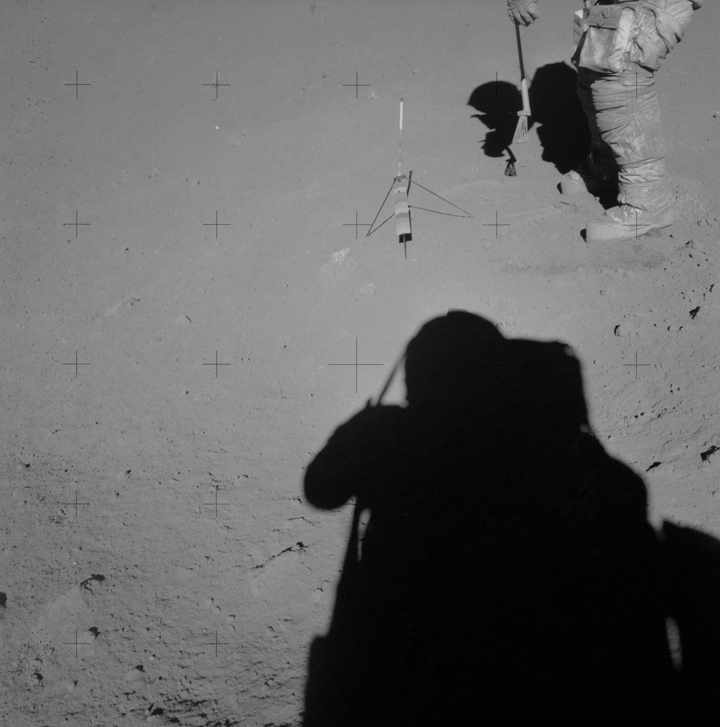
One of the biggest criticisms hurled at Project Constellation is that it is largely a grandiose repeat of the Apollo explorations of the Moon undertaken over 40 years ago. Certainly, as had been outlined by NASA, lunar return consisted of sortie missions that landed crews all over the Moon to do local field exploration. Such a mission template is indeed Apollo writ large. But that is not and was never the intent of lunar return under the Vision for Space Exploration which is now under assault. Constellation was largely NASA’s rocket development program, while the Vision for Space Exploration was strategic direction outlining a sustainable lunar return, whereby we would bootstrap our way “beyond” by learning how to use the resources of the Moon and other bodies.
So let me respond to the President’s new plan by reminding the readers of this column why the Moon is our goal and of its significance and value to space exploration.
It’s close. Unlike virtually all other destinations in space beyond low Earth orbit, the Moon is near in time (a few days) and energy (a few hundreds of meters per second.) In addition to its proximity, because the Moon orbits the Earth, it is the most accessible target beyond LEO, having nearly continuous windows for arrival and departure. This routine accessibility is in contrast to all of the planets and asteroids, which orbit the Sun and have narrow, irregular windows of access that depend on their alignment with respect to the Earth. The closeness and accessibility of the Moon permit modes of operation not possible with other space destinations, such as a near real-time (less than 3 seconds) communication link.
"The new meaning of exploration contains within it the seeds of its own termination: after you’ve touched the surface, planted a flag, and collected some rocks or deployed an instrument, that destination is “done.” Or does such a formulation apply only to the Moon?"
Robotic machines can be teleoperated directly from Earth, permitting hard, dangerous manual labor on the Moon to be done by machines controlled by humans either on the Moon or from Earth. The closeness of the Moon also permits easy and continuous abort capability, certainly something we do not want to take advantage of, but comforting to know is handy until we have more robust and reliable space subsystems. If you don’t believe this is important, ask the crew of
Apollo 13.
It’s interesting. The Moon offers scientific value that is unique within the family of objects in the Solar System. The Moon has no atmosphere or global magnetic field so plasmas and streams of energetic particles impinge directly on its surface, embedding themselves onto the lunar dust grains. Thus:
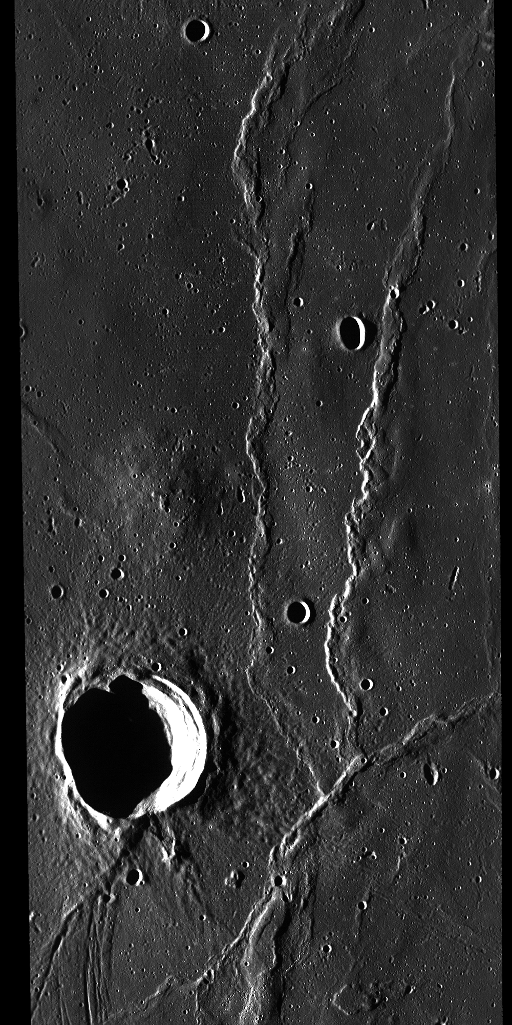
The Moon contains a detailed record of the Sun’s output through geological time (over at least the last 4 billion years). The value of such a record is that the Sun is the principal driver of Earth’s climate and by recovering that detailed record (unavailable anywhere on the Earth), it can help us understand the details of solar output, both its cycles and singular events, throughout the history of the Solar System. Additionally, because of the Moon’s ancient surface and proximity to the Earth, it retains a record of the impact bombardment history of both bodies. We now know that the collision of large bodies has drastic effects on the geological and biological evolution of the Earth and occur at quasi-regular intervals. Because our very survival depends on understanding the nature and history of these events as a basis for the prediction of future events, the record on the lunar surface is critical to our understanding.
A radio telescope on the far side of the Moon can “see” into deep space from the only platform in the Solar System that is permanently free from Earth’s radio noise. The Moon is a unique, rich and valuable scientific asset.
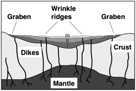
It’s useful. In my opinion, this is the most important and pressing argument for making the Moon our first destination beyond LEO. Because of the detailed exploration of the Moon undertaken during the last 20 years, we have a very different understanding of its properties than we did immediately following Apollo. Specifically, the Moon has accessible and immediately usable resources of both energy and materials in its polar regions, something about which we were almost completely ignorant only a few years ago. For energy, both poles offer benign surface temperatures and near-permanent sunlight, as the lunar spin axis obliquity is nearly perpendicular to the plane of Earth’s orbit around the Sun. This relation solves one of the most difficult issues of lunar habitation – the 14-day long lunar night, which challenges the design of thermal and power systems. In addition, once thought to be a barren desert, we have recently found that the Moon contains abundant and accessible deposits of water, in a variety of forms and concentrations. There is enough water on the Moon to bootstrap a permanent, sustained human presence there. Water is the most important substance to find and use in space; not only does it support human life by its consumption and provision of breathable oxygen, in its form as cryogenic liquid oxygen and hydrogen, it is the most powerful chemical rocket propellant known. A transportation system that can routinely access the lunar surface to refuel, can also access all of cislunar space, where all of our national strategic and commercial (and much of our scientific) assets reside (many satellites reside above LEO and are inaccessible for repair). Such a system would truly and fundamentally change the paradigm of spaceflight and can be realized through the mining and processing of the water ice deposits near the poles of the Moon. Space exploration should be a driving force in our economy not merely a playground for scientists or a venue for public entertainment.
Given the real and potential benefits of lunar return, the question is no longer “Why the Moon?” but “Why bypass the Moon?” I’m glad that “Buzz has been there” but that fact is irrelevant to either the value or the desirability of lunar return. By proposing to eliminate the Moon as a destination, the President has fundamentally altered the societal value of the space program in a significant and qualitatively different way.
If our new space program is to be made into a simple instrument of public spectacle (“cheap thrills” and “colossal feats,” as variously reported by news columnists) with each new mission requiring a “series of ‘firsts’ to engage and excite the public”, it will no longer have any more real long term benefit to our national security and wealth than did the bread and circus shows that heralded the demise of ancient Rome. Yes, there were and will be some exciting spectacles. And when such events are finished, people turn away and go home – none the wiser, none the richer, and none the better off. We won’t be staying at any destination long enough to fully characterize it and use what it has to offer.
Is this the kind of space exploration we want?
The seeds of the termination of our national space program were planted yesterday in Florida.
Dr. Paul D. Spudis is a Senior Staff Scientist at the Lunar and Planetary Institute in Houston. His opinions are his own and do not reflect the views of his employer or the Smithsonian Institution.


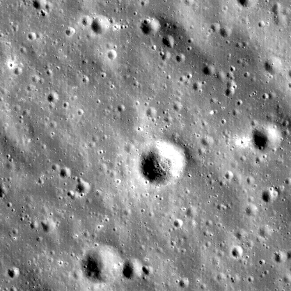
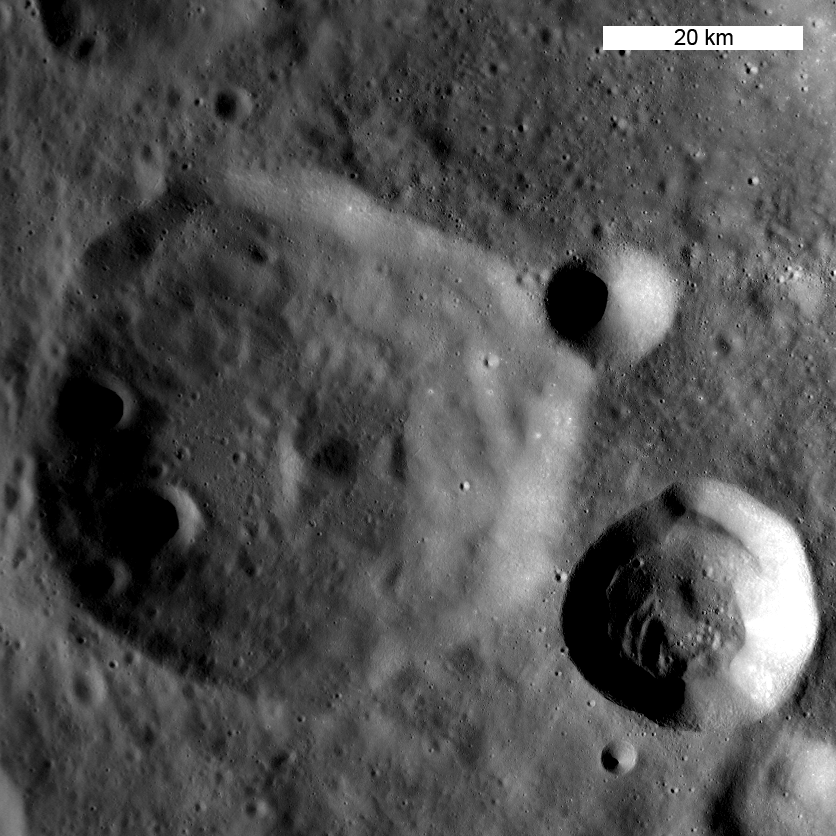
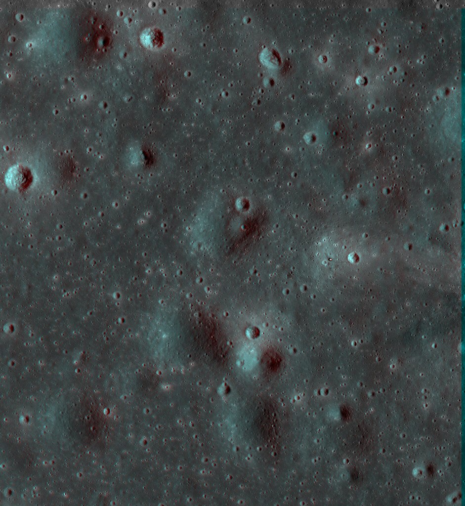
 GSFC - April 30, 2010 - 800 million years ago an impactor struck the eastern extent of Oceanus Procellarum, the "Ocean of Storms." The bright-rayed crater Copernicus was formed: the crater now considered representative of many lunar craters created during the Copernican period on the Moon.
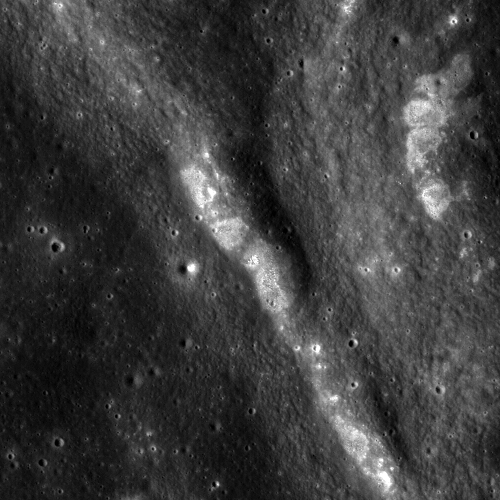


