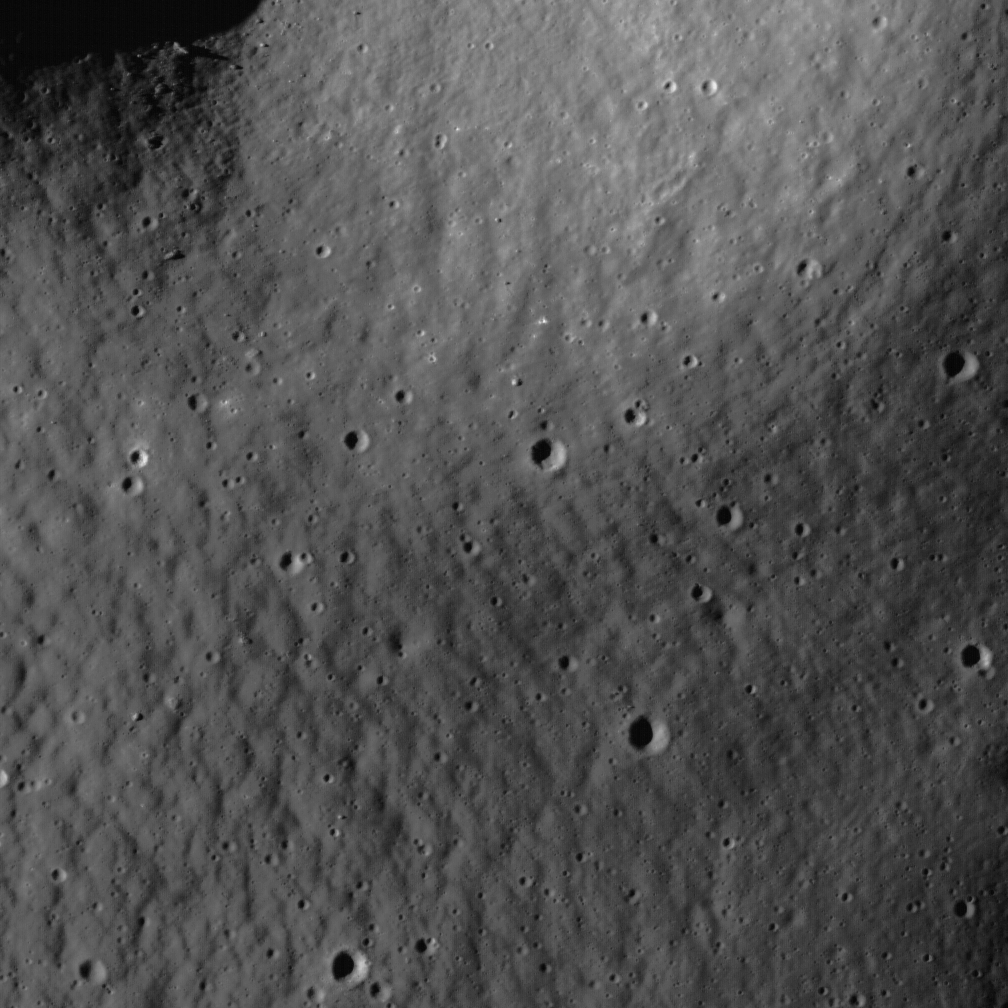
Monday, May 17, 2010
Lunar Swirl phenomena from LRO
Sunday, May 16, 2010
Moon & Venus from the UK
Saturday, May 15, 2010
Using the Earth to study the Moon
The Once & Future Moon
Smithsonian Air & Space Blogs
Last week, the Science Team of the Mini-RF imaging radar experiment aboard the Lunar Reconnaissance Orbiter (LRO) mission, met in Flagstaff, Arizona. We were there to conduct field studies of some interesting lunar analogs that occur in this area. Scientists study the planets through a variety of means, including images, remote-sensing, and sample return. One technique involves studying the processes and deposits of the Earth as a guide or analog to understanding similar features on the Moon and other bodies. Analogs have been studied since the beginning of the space program and have been essential to unraveling the complex histories of rocky objects in the Solar System.
The team gathered early Wednesday morning north of Flagstaff. Our field guides pictured the three areas we would spend the day visiting, along with geologically similar features found on the Moon. Our technique used airborne radar images of our targets: The SP cone and lava flow, Sunset Crater National Monument and Meteor Crater. Each site offers specific features that one can observe and walk across, using it as a guide toward understanding the same processes that have shaped our Moon. Our field trip illuminated the radar data in a “real world” environment, assisting us as we continue to explore and map with our instrument now orbiting the Moon.
The SP cone and flow is one of the most remarkable volcanic features in the region, with a beautifully symmetrical cinder cone and an extremely rough, blocky lava flow (Fig. 1; for full resolution versions of the surface pictures, click here: a, b, c). As viewed from the ground, the lava flow is blocky and extremely rough at the scale of the L-band radar wavelength (about 25 cm, or almost a foot). Steep flow fronts of blocky lava lie directly upon a smooth plateau of flat-lying sedimentary rocks. These remarkable flow fronts can be up to 50 m high (over 150 feet) and their rubbly, rugged fronts provide a spectacular contrast to the featureless plain upon which they rest. In the radar image, the lava flow is extremely bright, indicating high radar returns and its circular polarization ratio (CPR), one measure of its surface roughness at wavelength scales, is very high.

Many of the geological features seen in radar images of the Earth are also seen in the radar images from the Moon. As we continue to map the Moon with the Mini-RF radar, the sometimes puzzling relations seen in the lunar data are understood better by comparison with Earth analogs. Our entire team acquired valuable insight into how the Moon works and what the surface is like from our day in the field. For a geologist, there is simply no substitute for directly observed field data to fully comprehend the complex history and processes of the Moon.
Equally interesting and important will be the insight and knowledge gained when we sample the Moon in more detail. The Moon has been described as a “dead planet” because compared to the Earth, which has rapid, dynamic processes of erosion, the Moon remains unchanged for millions of years. However, for its ability to retain the ancient historical record of the Earth-Moon system, advantage goes to the Moon. The multi-billion year records of impact and solar wind embedded in the lunar surface awaits our recovery, and will tell us about both the past and possible future of our home planet.
Apollo Astronauts: Future of Human Space Flight
United States Senate
Committee Commerce, Science and Transportation
Dr. Neil Armstrong, Captain Eugene Cernan & Hon. Norm Augustine
May 12, 2010
Friday, May 14, 2010
Regolith patterns in Mendel-Rydberg ROI
Peter Thomas
LROC News System
Regolith detail in the Constellation region of interest Mendel-Rydberg. Much of this region of interest is located in a terrain known as a "cryptomare." Cryptomaria are mare basalt volcanic deposits obscured by superposed materials usually of higher albedo. The obscuring materials are typically the ejecta of later-forming craters and basins, which blanket the older mare basalt. In the case of Mendel-Rydberg, much of the material covering the older mare may have been ejecta from the Orientale basin-forming impact event, which occurred hundreds of kilometers to the north.The covering by ejecta of varying compositions, thicknesses, and albedos complicates the task of making an inventory of the amounts, composition, and history of lunar volcanism, and thus cryptomaria are of high scientific interest (see also the Balmer Basin region).
LRO (LROC) Wide-Angle Camera monochrome context image showing the Mendel-Rydberg Constellation Region of Interest and approximate location (arrow) of the Narrow-Angle Camera detail above. The smooth region to the west (left) of the arrow is the Mendel-Rydberg cryptomare. LROC WAC M118104209ME, click here for the full scene, 118 km across [NASA/GSFC/Arizona State University].
The full-resolution NAC view above illustrates the complexity of the highlands surface in the eastern portion of the Constellation region of interest. Here the cover of fragmentary material, or "regolith," displays the so-called "elephant skin" texture (also seen here and here) which is probably the result of slow movement involving thermal cycles of the lunar day-night and seismic shaking from meteorite impacts. The high resolution LROC images and accurate topographic information will help sort out the causes of this long-known surface characteristic of parts of the lunar surface.
Browse the full-resolution NAC image here.
LOLA: Einstein & Einstein A
A Study in Crater Morphology. Einstein (16.6°N, 271.5°E) and nestled within Einstein A. Laser Altimetry from the Lunar Orbiter Laser Altimeter (LOLA) instrument on-board the Lunar Reconnaissance Orbiter [NASA/GSFC].
LOLA-GSFC Image of the Week - May 14, 2010: Located on the far western limb of the Moon, Einstein and Einstein A (16.6°N, 271.5°E ) are only visible to Earth-bound observers during the rare favorable libration.Einstein A is younger than Einstein, as indicated by the fact that it lies squarely in the middle of the Einstein's floor. Viewed an topographic data, these two craters reveal much about the relative age and shape of an impact crater.
To understand further, let's first take a look at Einstein. Einstein is a fairly large crater that spans 198 kilometers across. A crater's size alone however cannot reveal much about age. Einstein's relative age can be determined by examining the frequency and distribution of impact craters overprinted on its rim and floor. Younger craters have fewer such impact counts, so they retain more original morphology.
As you may have already guessed, Einstein cluster craters are named after physicist, philosopher and scientist Albert Einstein (1879-1955).
+ Go to LOLA "Image of the Week" Collection.
Thursday, May 13, 2010
LROC: "In an Instant!"
Dr. Mark Robinson
Principal Investigator
Lunar Reconnaissance Orbiter Camera (LROC)
Arizona State University
LROC News System - Outside of the protective veil of the Earth's atmosphere, the Solar System is a dynamic, constantly changing environment. Nowhere is this more true than on the lunar surface. Asteroids and comets slam into the Moon at speeds greater than 16 km (10 miles) creating impact craters in a matter of seconds. So much energy is released in these impacts that the impactor is mostly vaporized and some of the target rock is melted. Rocks and soil are thrown out and form spectacular ejecta aprons.Rocks excavated from the deepest part of the crater typically land very near the rim, and material from the original surface is thrown out towards the edge of the ejecta blanket. Astronauts can easily sample the full range of depth of the crater without having to go down the steep slopes - they can simply collect samples as they approach the rim. Nature has provided a convenient look into the subsurface!
The best way to date impact craters is to sample their impact melt - as the molten rock cooled and formed new minerals their radiometric clock was reset. Scientists can measure the ratio of parent atoms to their daughter products and very accurately determine the age of crystallization. Planetary scientists would very much like to obtain accurate age dates for many of these young craters to determine the rate of recent impacts on the Moon. Current impact rates determined for the Moon are applicable to the Earth!
Explore this fascinating crater on your own.
Wednesday, May 12, 2010
Central Peak of Bullialdus
Samuel Lawrence
LROC News System
Nearly every square inch of the Moon is affected by impact craters, from micron-sized pits to gargantuan impact basins (like the 1100 km diameter Imbrium basin, which you can see with your naked eyes on a clear night).Lunar craters have a dizzying array of sizes and morphologies; this is because the size and the morphology of a crater depends on the size (and to some extent, the speed) of the impacting bolide. While there are no places on the lunar surface that aren't interesting or worthy of a visit from human explorers, a recurring theme that you'll see on the list of Constellation program Regions of Interest are complex craters - large craters with a central peak.
Complex craters are of particular interest. Complex craters have a well defined central peak and often a terraced rim; this central peak is brought up from great depths beneath the crater as the ground elastically rebounds after the shock and pressure of the bolide impact. These sorts of impacts happened on Earth, too - but the erosion caused by terrestrial weather removes all traces of their presence. On the Moon, though, complex impact structures are well-preserved, and the central peaks - which have brought up materials from great depth - offer us the easiest way to explore the composition of the Moon's lower crust and upper mantle, providing critical insights for planetary scientists trying to figure out how planets in this Solar System (and others, around other stars) form.
Today's featured image shows the summit of the central peak of Bullialdus crater, a Constellation program region of interest located in the western part of Mare Nubium. Spectroscopic observations of Bullialdus using terrestrial telescopes showed that Bullialdus is compositionally distinct from the surrounding region. Later studies using Clementine multi-spectral data indicated that there are several rock types exposed on the floor of the crater. Lunar scientists who have studied Bullialdus proposed that the impact excavated mafic materials from great depth.
Lunar scientists need to discover what these mafic materials are - are they some type of exotic mare basalts? Rare highlands non-mare volcanic rocks? We don't know, and we must find out to fully understand the Moon.
The central peak of Bullialdus is about a kilometer high. Astronaut explorers will not only have to explore around the base, but probably also scale this small mountain to collect the diverse array of samples required to really answer this question.
Plan your own adventure in Bullialdus crater.
Tuesday, May 11, 2010
The still-mysterious Descartes formation
Life on Earth thrives within a generous magnetic shield, most likely induced by uneven rotation of molten conductive material deep within our planet. Earth is mostly hot viscous liquid while planetary scientists are increasingly confident the Moon is solid down to the bone, though its density is far from uniform. The Moon has little or no global magnetic field, though like poor stitching pulled loose in loops from its fabric, here and there the Moon does feature quite a few widely-placed magnetic anomalies.The Most conspicuous of these are on the Far Side below the equator, directly on the opposite (or "antipodal") side of the Moon from the Near Side's more familiar impact basins. At the antipodes of Mare Imbrium for example, there are notable magnetic fields within Mare Ingenii (33.7°S, 163.5°E) tenuously joined with field lines in Van de Graaff nearby. This area also corresponds with bright surface albedo patches of a characteristic pattern, some of the Moon's more elegant "swirls."
Not the best picture we've featured of the Ingenii swirl field, but it illustrates a point in comparing two similar representations of different data gathered over Mare Ingenii (33.7°S, 163.5°E). In a far side whole-hemisphere optical mosaic (A.) from Clementine (1994) these swirls, antipodal to Mare Imbrium, contrast nicely with a darker, more "optically mature" background, bringing detail forward. In an admittedly broad-resolution laser altimetry map from the same mission (B.) the phenomena are not detected. Even though more recent laser altimetry indicates there may, in fact, be a very shallow topographic component to the swirls here it's little more than a few meters high and very spread out. [NASA/DOD/USGS].
Additionally the immediate lunar surface at the boot print and tire tread scale is periodically "gardened" by micrometeor bombardment every 2 million years or so.
If these locally intense magnetic fields protect some surfaces within their small realms from darkening how does this phenomena persist more than a billion years, let alone four times that span?
An emerging theory suggests a more dynamic process, perhaps one that brings the Moon's dynamic, dusty exosphere into the mix, the daily levitating of ionized sub-micron-sized lunar dust out from and away from within the small magnetic influences in these areas while conversely repelling a net amount of fallout from this same source after the polarity of these small particles has flipped.
Whether lunar swirls are a bi-product of the lunar exosphere combined with an interaction with fossilized crustal magnetism is the answer, or if, as some have suggested, these patterns are cometary in origin, and even if these fields possess capabilities that defy solar reddening over a longer period than we yet comprehend, they are definitely starkly beautiful. No two are exactly alike.
As with so much else we are still learning about the Moon, there's also some interesting differences between swirls on the near side and those on the far side.
The strongest of the Moon's magnetic anomalies presently known is Crises Antipodes (CA) near Gerasimovich (22.9°S, 237.4°E) opposite from Mare Crisium. There are swirl markings there also, though these are harder to immediately pick out from the bright highland anorthosite.
First observed by Jasper Halekas and his colleagues at the Space Science Laboratory, recently confirmed with magnetometers on India's Chandraayan-1, there is a true "mini-magnetosphere" over Gerasimovich shown intense enough to cavitate the solar wind just as Earth's magnetosphere plows the solar wind like a rock in a fast-moving stream.
The most famous and studied of the Moon's swirls is Reiner Gamma, a lengthy and meandering bifurcated albedo patch a few degrees above the equator and two-thirds of the way from the Near Side's central meridian to the western limb, in Oceanus Procellarum. As yet, there is no mapped or buried impact on the opposite side of the Moon identified with Reiner Gamma. It may be the extensive magnetic field there is related to a buried metallic flow as evidenced by its origin within the Marius Hills.
Add to the atypical nature of Near Side swirls the amorphous patch of bright coloring overlaying the Descartes mountains. The strongest Near Side swirl is a very undramatic, indistinctive splash of brightness in an area barely 60 km by 40km.
In Part 2, "Crossroads of two impacts" or "Serendipity and Apollo 16"
Saturday, May 8, 2010
LOLA's Van de Graaff Basin

LOLA Image of the Week Van de Graaff Crater, on the lunar far side north of South Pole-Aitken (SPA) Basin (26.92°S, 172.08°E), has an unusual figure 8 shape (~240 km x 140 km) that has long caught the eye of lunar scientists. Its shape suggests that it was formed by two separate impacts even though there is no crater wall separating its two halves. LOLA data indicate that the floor of the crater is relatively flat except for the presence of several smaller impact craters. Portions of its rim reach almost 1000 m above lunar mean elevation level, while its floor is near 2100 meters below.Van de Graaff is a Constellation program Region of Interest, a candidate for robotic and human exploration because of its location within a magnetic and geochemically anomalous region. The Moon does not have a global magnetic field like Earth, and thus the origin of its local crustal magnetic field is of scientific interest.
Van de Graaff and the surrounding region are also slightly enriched in thorium, an element found in lunar KREEP (potassium (K), rare earth elements (REE), and phosphorus (P)) terrain. Most of the Moon's KREEP-rich materials are found on the lunar near side, thus the presence of enhanced thorium in the Van de Graaff area is intriguing.
Looking west southwest from a vantage a few kilometers east of the NASA/Constellation Region of Interest (26.9°S, 172.08°E) within Van de Graaff. LROC Narrow-Angle Camera strip M112822306L (centered on 26.87°S, 172.54°E) is runs north-south through the scene, including a part of Van de Graaff C. [NASA/GSFC/Arizona State University]. Along with it's swirls and magnetic anomalies, the region is also one of extremes in elevation.The bottom of Van de Graaff C (lower right), for example, is almost 7 km below the mean global average. Astronauts landed at the Van de Graaff Constellation ROI landing zone, only 20 kilometers southwest, will be standing on a vast rolling plain roughly 4 kilometers below the global average. Rising over the western horizon the crew will easily see the highest peaks on the northwest rim of Van de Graaff, the highest here topping out at over 2 kilometers over the global mean average elevation, for an over all 8 kilometer range in elevations.

Friday, May 7, 2010
LROC: Mare Frigoris Constellation ROI
Brett Denevi
LROC News System
Samples from small, relatively fresh craters like the one above may someday help us learn more about Mare Frigoris and its place in lunar geologic history. Mare Frigoris is located on the lunar nearside, to the north of the Imbrium and Serenitatis basins. Instead of being low in reflectance like typical mare basalts, its reflectance is intermediate between the mare to the south and highlands terrain to the north. This is likely due to a lower iron and titanium content than any of the sampled mare basalts, making it an intriguing end-member in the spectrum of lunar mare volcanism.For more information on LROC's observation campaign for the Constellation program regions of interest read this Lunar and Planetary Science Conference abstract, and visit the LRO Science Targeting Meeting website (look for summary sheets for each of the fifty Constellation Regions of Interest, Tier 1, Tier 2).
Small craters like the one in the LROC Featured Image up above are excavations where material from below the surface has been brought up to the rim. Sampling can help discern whether or not the material there is distinct in composition (as would be expected for cryptomare). Sampling this material would also provide a definitive resolution to the geologic history of this fascinating region.
Explore the full-resolution LROC Narrow-Angle Camera (NAC) image HERE, the full-sized Featured Image Wide-Angle Camera (WAC) contextual Image HERE, and the full-sized close-up LROC Featured Image HERE.
New releases from Lunar Orbiter II (1966)
Past discussion here of the interesting story and important success of LOIRP can be reviewed by scrolling down through the link here.
Thursday, May 6, 2010
Orion Pad Abort 1 Launch at White Sands
Details via NASA.
Wednesday, May 5, 2010
LROC: New views of the Copernicus Interior
Livio Leonardo Tornabene
LROC News System
Although large boulders are not rare on the Moon, in-place bedrock is a rarity. The Moon is so impact-battered that most bedrock surfaces (unless exposed on very high slopes) are covered with regolith, and thus bedrock rarely crops out. Bedrock exposures are scientifically important.Any given point on the lunar surface has been subjected to hundreds of millions of years of meteorite impacts; these impacts tend to redistribute rocks around the lunar surface. Rocks that you just pick up from the lunar surface therefore may not have originated from the point where you found it. Now, you might think from this fact that just sampling loose rocks might not be geologically informative, but loose rocks must have been transported or disrupted by a geologic or planetary process. These processes will overprint or alter a loose rock in some way, which will also provide incredibly useful information to the geoscientist. However, bedrock formed in the location in which it is found and therefore informs scientists about the local history. Craters are one of the places on the Moon that expose bedrock, often on the very high slopes.
It is only slightly brecciated (or fragmented), which is consistent with the manner in which crater central peak rocks are uplifted and exposed. This location gives us a glimpse of bedrock that was protected beneath the surface until exposed by the Copernicus impact event and later landslides. Dark materials appear to fill fractures in this outcrop that may be highly shocked materials (e.g., impact melt or breccias) that were injected into the rock during the formation of Copernicus.
A troctolite is a relatively uncommon igneous rock on Earth. Troctolites consist of almost equal parts of the minerals olivine and Ca-rich plagioclase and are found in some of the most ancient large subsurface igneous bodies on Earth. Such igneous bodies are thought to have formed so slowly over time that the crystals separated from the cooling liquid magma (somewhat like oil and water separating) and accumulated (either sinking to the bottom or floating to the surface) in the magma body. These magma bodies may be quite abundant beneath the lunar crust as suggested by spectral studies of crater central peaks and cosmochemical investigations of Apollo lunar samples (especially the regolith samples) as well as lunar meteorites.
Because bedrock outcrops on the central peaks of large impact craters can bring these deep subsurface materials to the surface, large crater central peaks (like Copernicus) are high-priority scientific targets for future human and robotic exploration. Future astronaut explorers inside Copernicus will be exploring one of the most beautiful and dramatic places in the Solar System - and making tremendous scientific advances in the process!
Plan your own visit to the central peak of Copernicus.
For more information on LROC's observation campaign for the Constellation program regions of interest read this Lunar and Planetary Science Conference abstract, and visit the LRO Science Targeting Meeting website (look for the baseball card summary sheets for each site: part 1, part 2).
Monday, May 3, 2010
The Four Flavors of Lunar Water
![]() |
| From Lunar Pioneer |
Paul D. Spudis
The Once and Future Moon
Smithsonian Air & Space Blogs
New studies of lunar samples, along with results from several missions in recent years, have given us a revolutionary new picture of water on the Moon. Study of volcanic glass from the Apollo 15 landing site in 2008 demonstrated that tiny amounts of water (about 50 parts per million) are present in the interiors of these glasses, suggesting that the lunar mantle (whence they came) contains about ten times this amount. This was a startling result, considering the extreme dryness of other lunar samples.
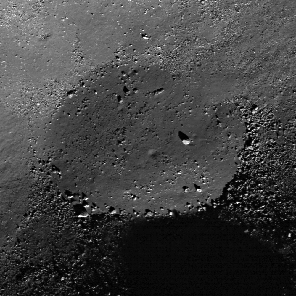
Because the Moon’s spin axis is nearly perpendicular (1.5° from vertical) to the ecliptic plane, the Sun is always on the horizon at the poles, keeping the floors of deep craters in permanent shadow. These dark areas only receive heat from the interior of the Moon and are extremely cold; recent measurements by the DIVINER instrument on the Lunar Reconnaissance Orbiter (LRO) spacecraft indicate temperatures as cold as 25-35° C above absolute zero. Water molecules are trapped by the cold as soon as they find their way into these craters. Over the more than 4.5 billion years of lunar history, significant amounts of water could accumulate in many of these crater “cold traps” at the Moon’s poles.
"The Moon is on the critical path to human expansion into the Solar System."The first hint of water ice in these polar cold traps came from a radio experiment aboard the 1994 Clementine mapping mission orbiting the Moon. The polarization characteristics of echoes from the south pole were consistent with the presence of ice in the crater Shackleton. Four years later, the Lunar Prospector (LP) spacecraft carried an instrument designed to measure the amount and energy of neutrons given off the Moon’s surface. Hydrogen absorbs neutrons, so when LP investigators saw a decrease in the flux of medium-energy neutrons near the lunar poles, they concluded that excess amounts of hydrogen were present there. Although this observation is consistent with the presence of polar ice, neutron data alone do not tell us what form the hydrogen is in, and it was alternatively postulated that this enhancement was caused by excess solar wind hydrogen.
The Moon Mineralogy Mapper (M3) instrument on the 2008-09 Indian Chandrayaan-1 mission collected reflectance spectra for most of the Moon. It found both water (H2O) and hydroxyl (OH) molecules, present either as a monolayer on lunar dust grains or bound into the mineral structures in surface materials, poleward of about 65° latitude at both poles. Moreover, the abundance of this surface water varies with time, being present in greater quantity in both local early morning and late evening and it increases in abundance with increasing latitude. These results were verified by observations from the Cassini and EPOXI spacecraft during separate flybys of the Moon. The new observations indicate significant quantities of water moving towards areas with lower mean surface temperatures and increasing in abundance with latitude. Taken all together, the results mean that water is being deposited (e.g., by comet impact) and/or created (e.g., by reduction of metal oxides in the surface by solar wind protons) and then transported to the poles. By this process, significant quantities of water ice could accumulate at the poles over geological time.
Last October, the companion satellite to LRO, LCROSS, slammed the upper stage of its launch vehicle into the Moon’s south pole and observed the ejected material. Results show that both water vapor and ice particles were ejected from the LCROSS impact crater; initial analyses indicate that water is present at about the 5-10 wt.% level. The LCROSS impact site exhibits no anomalous radar behavior, suggesting that such an amount of water ice cannot be detected by radar. However, the results do indicate that significant amounts of lunar polar water may be present even in the absence of specific radar evidence for it. Spectra from this impact event show evidence for other volatile substances, including ammonia and simple carbon compounds. The presence of such material may indicate a cometary source for these volatile materials.
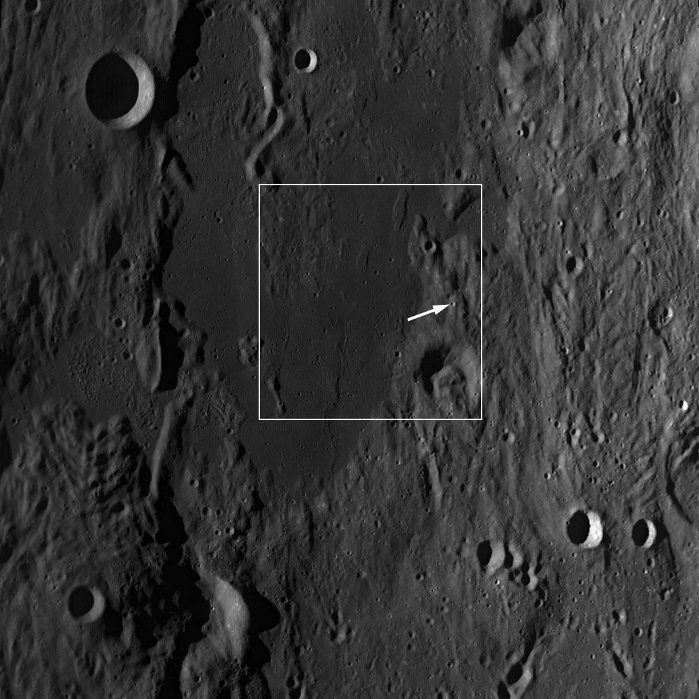
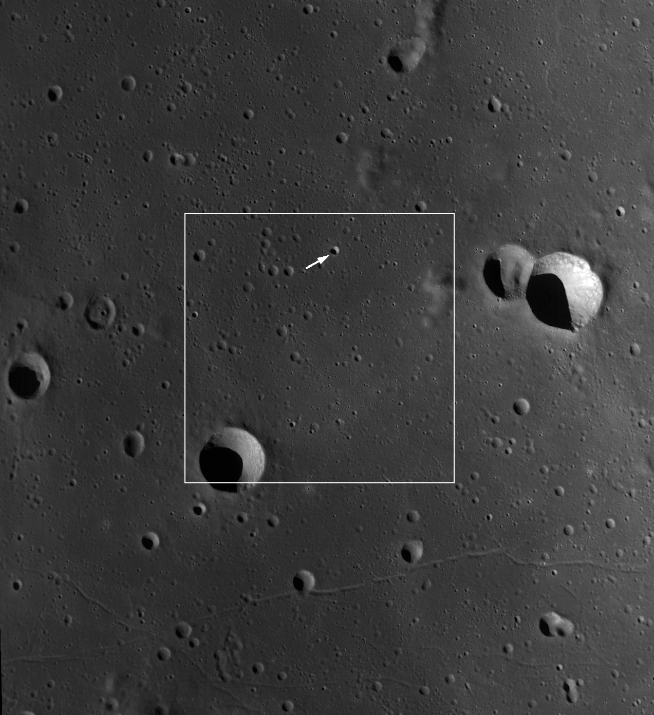
Both poles were covered by radar images from the Mini-SAR instrument on Chandrayaan-1. Much of the north polar region displays backscattering properties typical for the ordinary Moon, but one group of craters in the region show elevated polarization enhancements in their interiors, but not in deposits exterior to their rims. Almost all of these anomalous craters are in permanent sun shadow and correlate with proposed locations of ice modeled on the basis of the Lunar Prospector neutron data. These relations suggest that the interiors of these craters contain nearly pure water ice, with approximately 600 million metric tonnes of ice present in over 40 small craters within 10 degrees of the pole. The south polar region shows similar relations, except that it has fewer anomalous craters than the north pole. Small areas of polarization enhancement are found in some craters, notably Shoemaker, Haworth and Faustini; these areas might be deposits of water ice.
So water on the Moon is present in large quantity in at least four different “flavors.” Water was in the deep lunar interior 3.3 billion years ago, at concentration levels of a few hundred parts per million. This water would have been released during the eruption of lunar magma and could have made its way into the polar cold traps. Water is either being made or being deposited nearly continuously by impact all over the Moon. Most of this water is subsequently lost to space (e.g., by sputtering, ionization or thermal escape) but some is retained on the Moon. Any water arriving at a cold trap near the pole will be captured. Water, once in the polar areas, is stable as ice in the permanent darkness or where sublimation is prevented when buried by a thin layer of soil. Significant quantities of water may accumulate there; the LCROSS results suggest several to tens of weight percent water ice may exist in the polar soils. Finally, some of this migrating water apparently collects at rates high enough so that significant soil cannot mix with it during normal impact bombardment, as shown by the presence of relatively “pure” water ice deposits in selected lunar craters imaged by radar.
A significant amount of water at the poles of the Moon is present, with many billions of metric tonnes at each pole (detailed estimates of the water reserves are in progress). Such an amount is more than enough to support both permanent, sustainable human presence on the Moon and for export to cislunar space. Water is useful as rocket fuel and energy storage (hydrogen and oxygen are the two most powerful chemical propellants known) and for life support (water and oxygen) in space. These new discoveries fundamentally alter our understanding of the Moon’s processes and history and highlight both it’s scientific value and utilization potential. The Moon is on the critical path to human expansion into the Solar System.
Addendum. In Comments, below Dr. Spudis original post, Pradeep Mohandas reminded the author of the findings of the Moon Impact Probe, released from Chandrayaan-1, which discovered water vapor in very small concentrations in the space just above the Moon during its descent to the south pole. "This exospheric water (i.e., water in extremely small concentrations) may be related to the time-variable water seen in the spectral data from M3, Cassini, and EPOXI — in other words, it may represent water molecules in motion, migrating toward the poles. Work on the nature and processes of the lunar hydrosphere continues, and I will keep you up to date on the latest research results on this new and exciting subtopic of lunar science."
Guenter Wendt, 85
Saturday, May 1, 2010
Tsiolkovskiy - Constellation Region of Interest
Maria Banks
LROC News System
Tsiolkovskiy Crater is 185 kilometers (115 miles) wide and located on the far side of the Moon. It's named after Russian scientist and visionary space pioneer Konstantin Tsiolkovskiy."The earth," Tsiolkovskiy wrote, "is the cradle of the mind. But one cannot live forever in a cradle."
The crater has a complex central peak, a smooth lava-flooded floor, a lunar lobate scarp located on the ejecta blanket near the crater rim and several other interesting geomorphological landforms and features that make Tsiolkovskiy an exciting destination for future human lunar exploration.
The biggest boulders in this view are up to ~25 m (over 80 feet) in length! This is roughly the length of a college basketball court or two school buses lined up lengthwise. In areas such as this, astronauts are able to easily collect and study rocks from the smooth mare crater floor as well as rocks that originated from beneath the lunar surface! You can also see on the floor of the crater multiple smaller craters that formed over time as small asteroids and comets impacted the Moon. Scientists can use counts and measurements of superposed craters to estimate when Tsiolkovskiy Crater formed - the more craters, the older the surface on which they lie.
For more information on LROC's observation campaign for the Constellation program Regions of Interest read this Lunar and Planetary Science Conference abstract, and visit the LRO Science Targeting Meeting website (look for the baseball card summary sheets for each site: part 1, part 2).
Read more about Tsiolkovskiy at Arizona State University's Apollo Digital Image of the Week.
Explore the Tsiolkovskiy Constellation region of interest for yourself!


