
 |
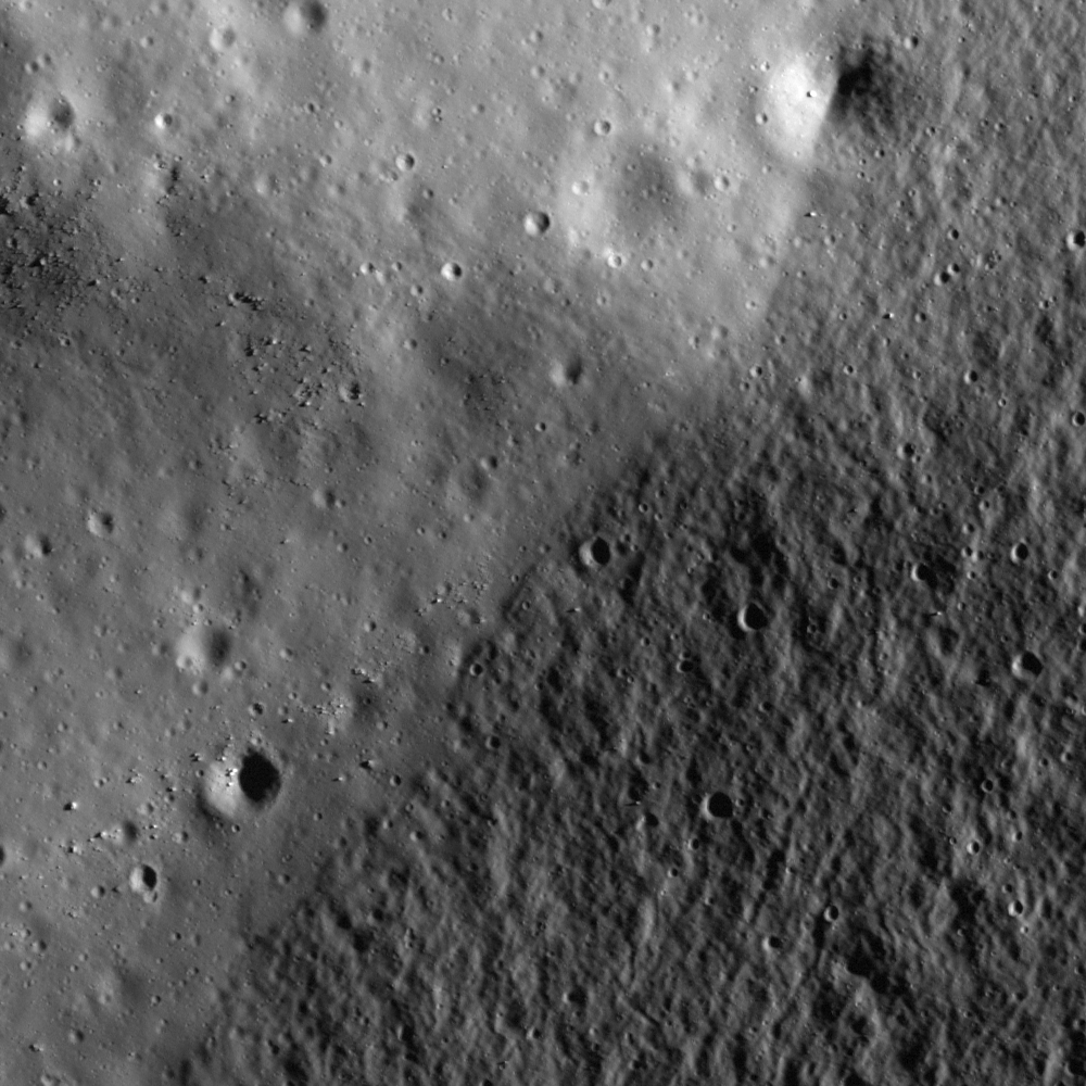
| On the shore of Lacus Veris, eastern wall of Orientale basin. 500 meter wide field of view from LROC Narrow Angle Camera (NAC) observation M160498666R, LRO orbit 8786, May 20, 2011; centered on 18.348°S, 275.769°E, resolution 0.49 meters from 44.44 km [NASA/GSFC/Arizona State University]. |

LROC News System
The lower-right half of this image is the relatively rough surface of the basin wall. The smoother part in the upper left corresponds to the mare basalt deposit that extends ina north-south direction (see WAC context image at the bottom of this post).
Just below in the NAC context image, there is a trench on the mare surface about 650 meters in width. The slope materials slid down the trench, resulting in a sharp distal edge.
Determining the origin of this trench is not easy from this image alone, but it must have been formed after mare basalt was deposited as a flat surface. Later material from the wall slid downslope and partially covered the bottom of the trench.
 |
| The wider NAC context view of the opening image, showing the bottom edge of the slope and trench, in a field of view about 1.2 km across [NASA/GSFC/Arizona State University]. |
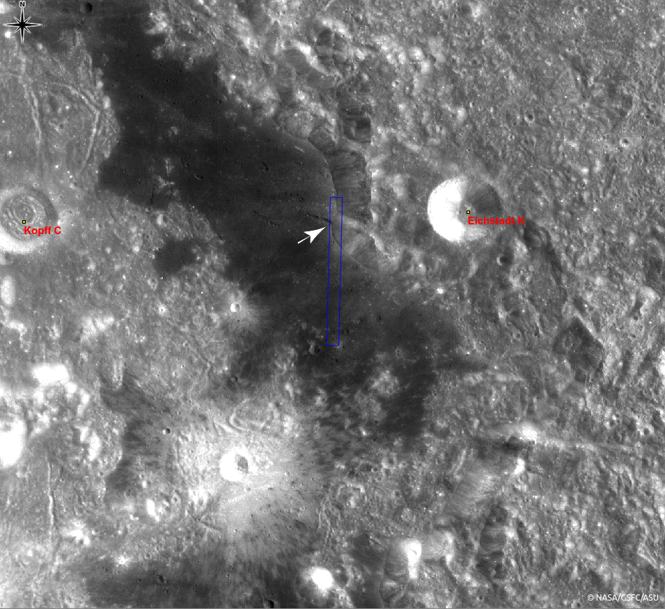 |
| Eastern portion of Orientale basin in an LROC Wide Angle Camera (WAC) monochrome mosaic (100 meters per pixel). Image center is 18.63°S, 275.66°E, covering about 135 km across. The blue box and the white arrow indicate the area within the full NAC frame and the area shown at high resolution, respectively [NASA/GSFC/Arizona State University]. |
Related Posts:
A Digital Terrain Model of the Orientale Basin
Crater rim of Flamsteed P
Remnants of the Imbrium impact
Riccioli Crater: Cracked, Melted, and Draped
Relative Timing of Geologic Events in Mare Frigoris
No comments:
Post a Comment