|
| This reproduction of a roughly 188 meter wide segment (between lines 18602 and 19053) of LROC Narrow Angle Camera (NAC) observation M168000580R may not be the best view of the Apollo 17 lunar module descent stage or the rover tracks and foot prints left behind by Cernan & Schmitt in 1972, still it was collected from an altitude of only 22.41 kilometers on August 14, 2011; LRO orbit 9892, official resolution 0.41 meters per pixel with an incidence angle of 45.17° [NASA/GSFC/Arizona State University]. |
 Joel Raupe
Lunar Pioneer
Joel Raupe
Lunar Pioneer
Since the latest release of Lunar Reconnaissance Orbiter Camera (LROC) images on December 15 we've been able to get a better idea of what flight directors were up to last August. As advertised, the record-breaking spacecraft's roughly 50 kilometer high circular polar orbit was briefly lowered to allow a narrow window for very low altitude photography. The lowest perigee (or
perilune) appears to have been engineered into orbits 9838 through 9973, between August 10 and August 21, 2011. At least that's the period where LRO Narrow Angle Camera (NAC) frames from last summer are available at resolutions higher than 40 centimeters per pixel.
The area covered, moving westward with the Moon's easterly rotation under the LRO orbit, begin near the nearside's east limb at the 85th meridian traveling short of the 60th meridian west (near 310° east). That period in LRO's August close-up maneuver featured perilunes as low as 22 kilometers over the nearside equator with apogee back up near the Nominal and Science Mission altitude higher than 40 kilometers while over the Moon's farside. Put another way, the very highest resolution LROC NAC frames were captured last August between Mare Marginis west to Aristarchus and the Marius Hills.
 |
| Our continued, now more extensive tour, of the LROC August low-altitude close-ups has uncovered many extensive fields of boulders and their trails. The largest boulder seen above on the floor of the Vera (26.32°N, 316.28°E) rille formation, directly adjacent to the Prinz ghost crater and head of a long and deep sinuous rille in Oceanus Procellarum, is roughly 22 by 22 meters in size. Many of these August perilune NAC observations appear fore-shortened in this raw first look. A description of the full-width NAC frame which included the detail above is reproduced below [NASA/GSFC/Arizona State University]. |
|
|
 |
| Vera-Prinz. The full width of LROC NAC observation M168488930L, orbit 9964, August 20, 2011; 0.41 meters per pixel with an illumination incidence angle of 43.82° from 26.43 kilometers. The wider image does not provide the context of a Wide Angle Camera image but at least it shows where the boulders further above originated. Is "Vera" is not a crater but a caldera, the "cobra head" of a long and winding rille. The whole scene rests high above the Procellarum basin floor, on the still exposed northeastern ejecta blanket of the almost completely buried ghost crater Prinz. Still, Vera is a deep formation. The lowest elevation inside Vera above is about 550 meters below the surrounding terrain (which only looks flat) [NASA/GSFC/Arizona State University]. |
The primary purpose of the low altitude maneuvers last August was to allow a last, very close look at three of the six Apollo landing sites, but LROC's targeting team took advantage of the 11 day window to gather hundreds of observations. In addition, the period allowing for greater than 0.4 meter per pixel NAC resolutions was bracketed by a slow, probably energy conserving re-circularizing of the LRO orbit back to within 50 km. There are far more observations among those images between June 15 and September 14 released in December with resolutions higher than the mission average of half a meter per pixel.
There will undoubtedly be thousands more NAC observations captured through December (scheduled for release in mid-March). Though LRO will be placed at an extended mission altitude of greater than 100 km in January it's likely more than half of the Moon's surface will soon be mapped at high resolution, a very successful legacy indeed.
 |
| Not every feature on the lunar surface is billions of years old. On edge of the floor of the crater Milichius (9.86°N,329.75°E), seen above, a six meter boulder clearly rolled down the steep wall and came to rest before one of several subsequent dry flows covered the end of its trail, without moving or covering the boulder. The full width of the frame is detailed immediately below [NASA/GSFC/Arizona State University]. |
 |
| As context for the previous full resolution field of view (white rectangle), the full width of LROC NAC frame M168401046L, orbit 9951, August 19, 2011; resolution 0.395 meters per pixel with an illumination incidence angle of 37.62° from 23.08 kilometers. A 64 meter per pixel Wide Angle Camera LROC QuickMap mosaic of the vicinity is available HERE [NASA/GSFC/Arizona State University]. |
 |
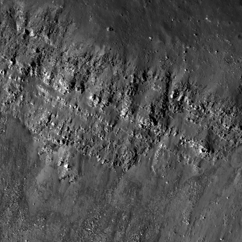
| A full resolution frame from a very high resolution LROC NAC observation of a cross-section of landmark nearside crater Bessel (21.73°N, 17.92°E), prominent in the southeastern Mare Serenitatis. This dry flow is composed of material shed from the crater's southwestern wall that did not (or hasn't yet) reached the crater floor. The full width of the NAC frame is reproduced for context in the next image [NASA/GSFC/Arizona State University]. |
 |
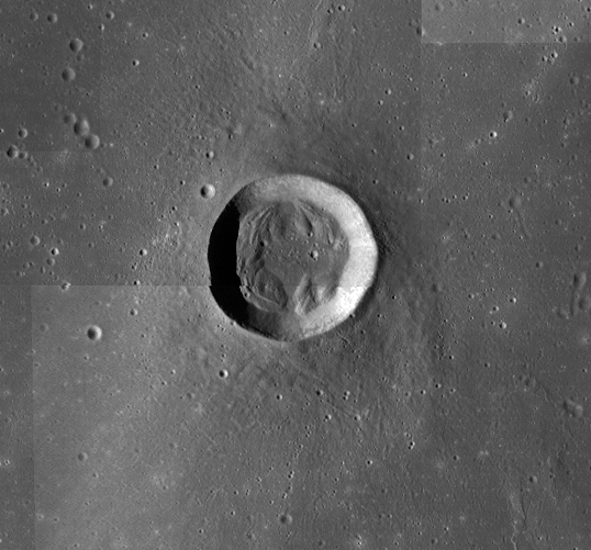
| A full width view of LROC NAC frame M168088745L, a breathtaking north-south cross-section of the crater Bessel, August 15, 2011; orbit 9905, resolution 0.395 meters per pixel with an illumination incidence angle of 45.41° from 23.07 kilometers. In this slightly foreshortened view the most prominent feature is the 1325 meter plunge down the southwestern wall of Bessel, from rim to the wall's contact zone with the crater floor [NASA/GSFC/Arizona State University]. |