Showing posts with label STEREO. Show all posts

Friday, August 13, 2010

Processing LROC NAC Stereo Terrain Models


High-resolution 3D Digital Terrain Model (DTM) of a lunar crater created from a LROC NAC stereo pair. The scale bar on the left is the elevation in meters [NASA/GSFC/Arizona State University/Ohio State University].

Jordan Lawyer
LROC News System

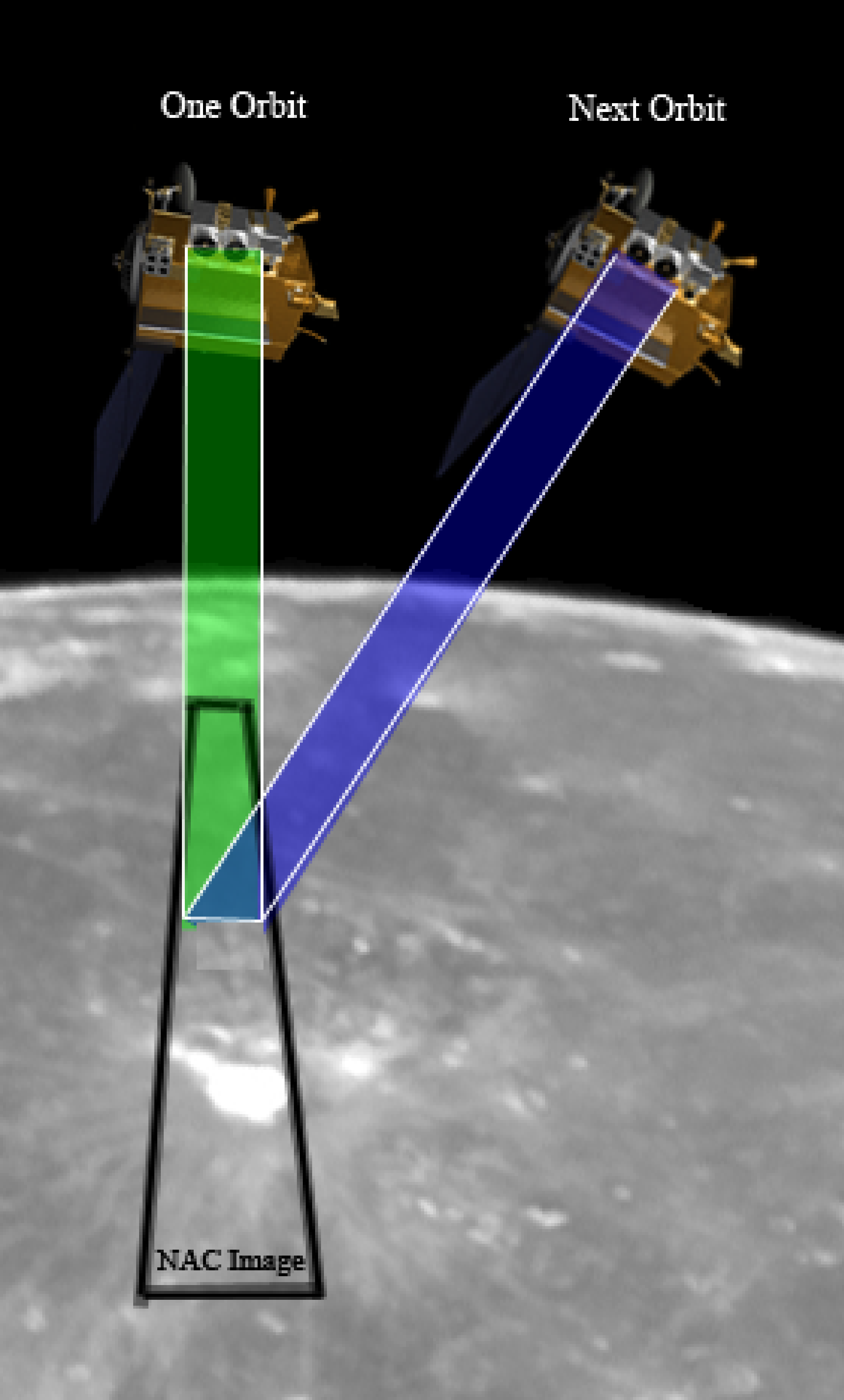
To produce a Digital Terrain Model (DTM) using LROC NAC images, you need at least two images of the same area taken from different orbits with off-pointing. The two oblique views result in parallax, which we can measure and convert into elevation measurements. Presto! You have a topographic map. Of course, it is not quite that easy. First, an analyst has to calibrate the images, pick absolute elevation points from LOLA laser profiles, pick a few points matching the images together, and then the automated software does the rest; almost, but analysts check the output and correct any errors that may have crept in during the automated processing.
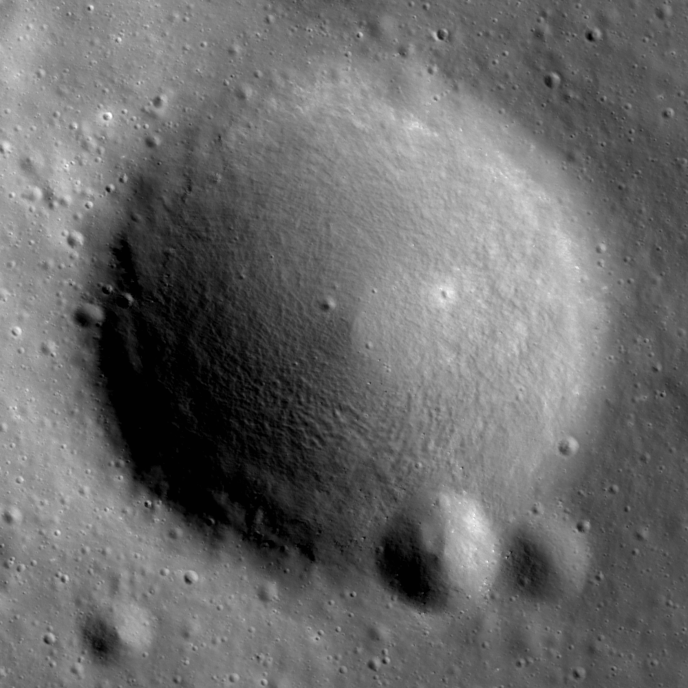

A stereo pair of LROC NAC images of this crater was used to derive the DTM shown in the opening image. Portion of LROC NAC M104776541R (near 36.41°N, 319.72°E, previously highlighted within the Gruithuisen Domes Constellation Region of Interest of north Oceanus Procellarum, LRO orbit 598, August 13, 2009; Alt. 159.78, Res. 1.61; field of view is 825 meters [NASA/GSFC/Arizona State University].

Jitter, which is caused by minuscule vibrations in the spacecraft, can cause the resulting DTM to show wave-like patterns (below). So far only a small set of LROC NAC images have been found to be affected by jitter and research efforts are being focused to reduce the effects of jitter on the handful of DTMs that show this effect.


DTM of Gruithuisen Domes (elevation in meters), generated using the stereo NAC image pair M104776541L/R and M104783697L/R. The wavy lines (arrows) are a result of the slight jitter of the spacecraft [OSU].

The final product, detailed topographic maps, provides scientists and engineers with a powerful tool to solve many problems. For example, when planning future human traverses at a specific site, topographic maps tell us where we can drive or walk, how much energy we will need, and what we can do at any given location. Over the next several years, LROC will collect hundreds of more stereo pairs over key exploration targets.

Friday, April 10, 2009

Goddard takes advantage of STEREO A & B ride through L4 & L5 to gather evidence of Earth Trojans

Join STEREO and Explore Gravitational "Parking Lots" That May Hold Secret of Moon's Origin

Goddard Space Flight Center

Two places on opposite sides of Earth may hold the secret to how the moon was born. NASA's twin Solar Terrestrial Relations Observatory (STEREO) spacecraft are about to enter these zones, known as the L4 and L5 Lagrangian points, each centered about 93 million miles away along Earth's orbit.

As rare as free parking in New York City, L4 and L5 are among the special points in our solar system around which spacecraft and other objects can loiter. They are where the gravitational pull of a nearby planet or the sun balances the forces from the object's orbital motion. Such points closer to Earth are sometimes used as spaceship "parking lots", like the L1 point a million miles away in the direction of the sun. They are officially called Libration points or Lagrangian points after Joseph-Louis Lagrange, an Italian-French mathematician who helped discover them.

L4 and L5 are where an object's motion can be balanced by the combined gravity of the sun and Earth. "These places may hold small asteroids, which could be leftovers from a Mars-sized planet that formed billions of years ago," said Michael Kaiser, Project Scientist for STEREO at NASA's Goddard Space Flight Center in Greenbelt, Md. "According to Edward Belbruno and Richard Gott at Princeton University, about 4.5 billion years ago when the planets were still growing, this hypothetical world, called Theia, may have been nudged out of L4 or L5 by the increasing gravity of the other developing planets like Venus and sent on a collision course with Earth. The resulting impact blasted the outer layers of Theia and Earth into orbit, which eventually coalesced under their own gravity to form the moon."

This theory is a modification of the "giant impact" theory of the moon's origin, which has become the dominant theory because it explains some puzzling properties of the moon, such as its relatively small iron core. According to giant impact, at the time of the collision, the two planets were large enough to be molten, so heavier elements, like iron, sank to their centers to form their cores.

The impact stripped away the outer layers of the two worlds, which contained mostly lighter elements, like silicon. Since the moon formed from this material, it is iron-poor.
Complete story HERE.