
 |
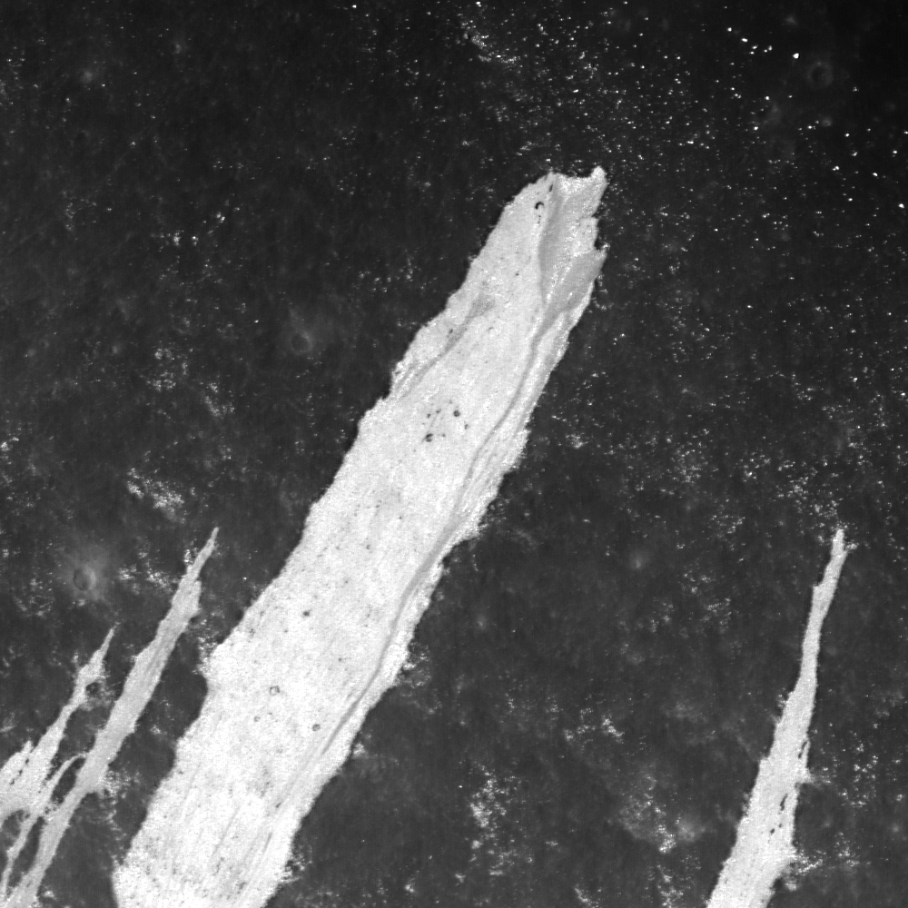
| A bright debris flow down the southwest wall of Couder crater (4.89°S, 267.45°E) shows signs of geologically recent activity. Note the two distinct units within the deposit (white and grey). Downslope is to upper right, and image field of view is is 1000 meters, from LROC Narrow Angle Camera (NAC) observation M1101817103RE, LRO orbit 14702, September 9, 2012 [NASA/GSFC/Arizona State University]. |

Drew Enns
LROC News System
Debris flows are common on crater walls.
Why?
Because the wall slope is close to the angle of repose, it doesn't take much energy to mobilize rocks to flow downhill.
Here, one large flow is surrounded by five thinner, shorter flows. Within the largest flow is a grey portion with a channel and triangular base. Why does the grey portion of the large flow have this shape?
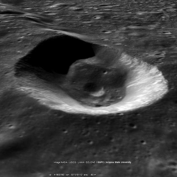 |
| Simulated view southeast across Couder, featuring the LROC Wide Angle Camera mosaic context image immediately below, draped over the Google Earth lunar terrain model. |
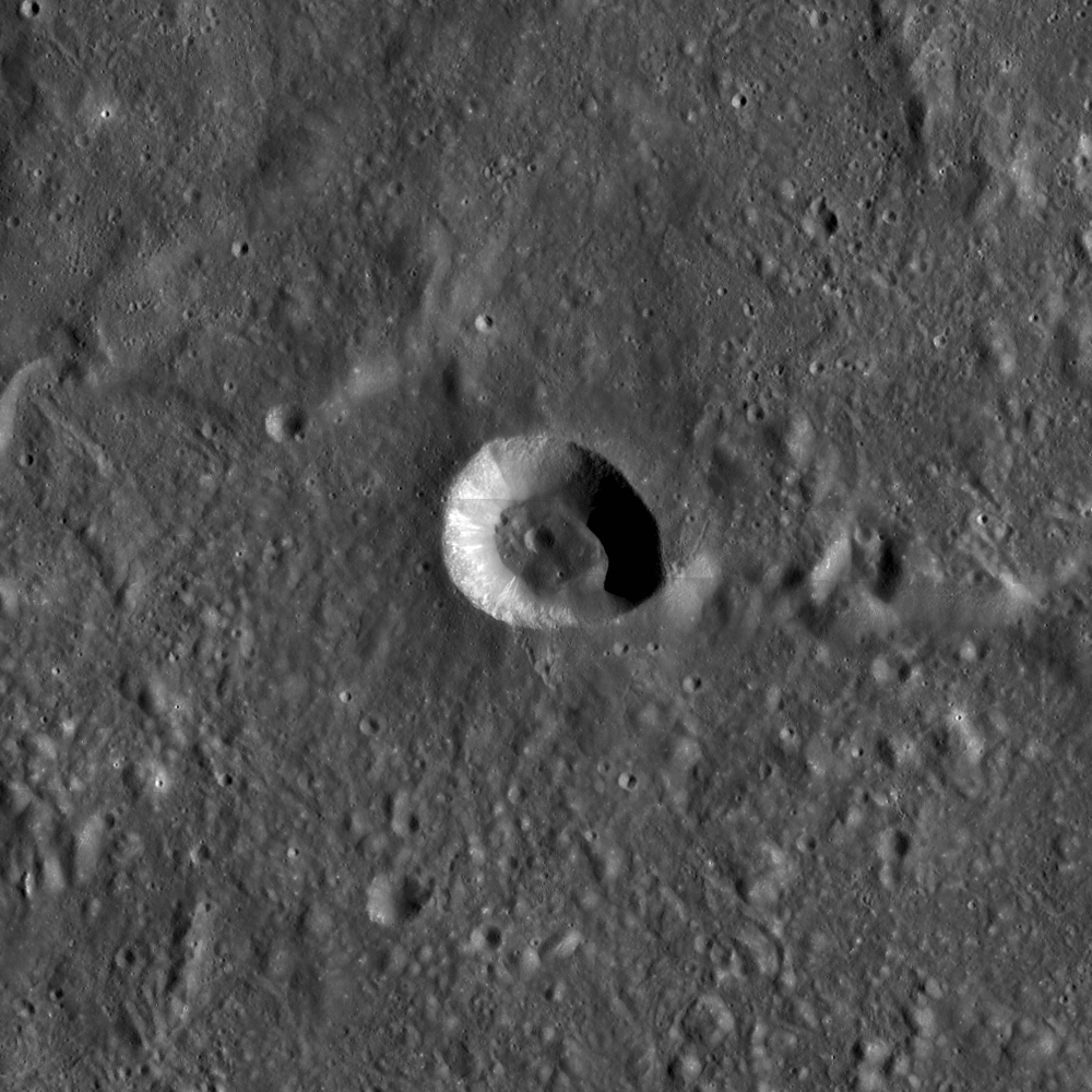 |
| Context image of today's Featured Image. Couder crater is located at 4.94°S, 267.43° E. Several bright flows are along the western interior of the crater. Field of view is 100 km [NASA/GSFC/Arizona State University]. |
Obviously, the Moon has no liquid water and thus no river systems, but a similar change in energy environments does occur here. Material in the channel travels down the crater wall from a source. When the debris flow loses enough energy and can not sustain its downward travel, the material is spread out and deposited across the surface in this similar deltaic shape!
Explore more of the debris flows in the full LROC NAC, HERE.
Related Posts:
Debris Flows in Gardner Crater
 |
| Early (April 2010) LOLA laser altimetry small-scale comparative elevation map of Orientale basin, with the location of 21 km-wide Couder marked at upper center [NASA/GSFC/LOLA]. |
No comments:
Post a Comment