 |
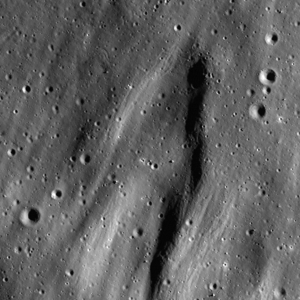
| A topographic depression is mantled by impact debris (31.4°S; 145.0°E). An 800 meter-wide field of view from LROC Narrow Angle Camera (NAC) frame M130700036R,
illumination is from the east, angle of incidence 73.63° at 55
centimeters resolution (in the original), from 53.74 kilometers [NASA/GSFC/Arizona State
University]. |
LROC News System
The extreme energy of ground-hugging debris surges emanating from impact events often results in a distinctive V-shaped surface expression where the deposits are relatively fresh. Here we see such striations oriented with their apices pointing toward a fresh, unnamed impact crater just northwest of Jules Verne Y in the farside Highlands. The Featured Image highlights an area where this effect, which results from low-angle secondary impacts of ejected debris, seems to have been accentuated by local topography.
 |
| A wider view of NAC frame M130700036R. Image field of view is approximately 5 km in width [NASA/GSFC/Arizona State University]. |
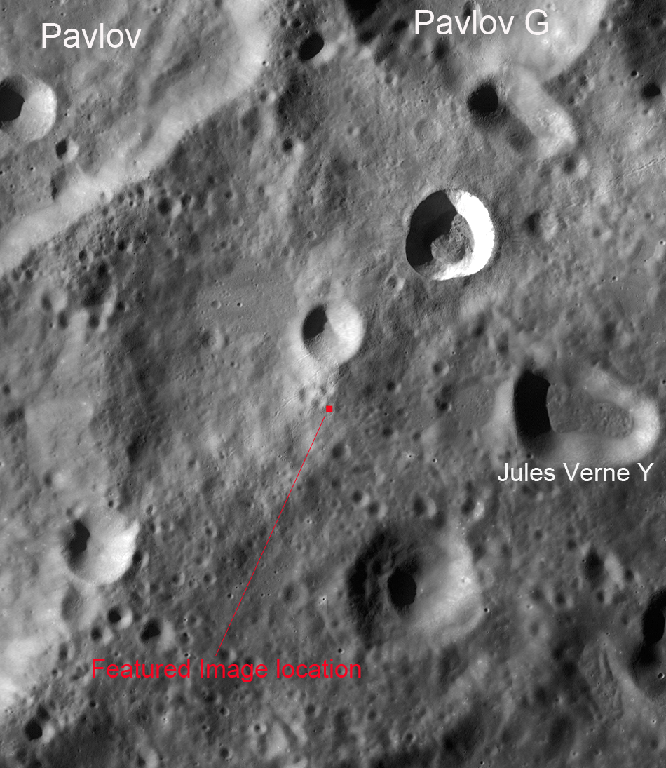
A wider field of view from the same NAC frame gives increased context to the area highlighted in the LROC Featured Image.
 |
| Enlarging this LROC Wide Angle Camera (WAC) mosaic will permit inspection of scours radiating
from the fresh impact just northwest of Jules Verne Y. Image with is
approximately 950 km [NASA/GSFC/Arizona State University]. |
Even in the 100 m/pixel WAC mosaic, scours from interacting ejecta and terrain are clearly visible. To the northeast of the fresh crater can be seen additional scours that are oriented in a southwesterly to northeasterly direction, away from the impact site. Click
HERE for the full NAC frame. Other examples of recent deposits can be found in the LROC Featured Images,
In the Wake of Giordano Bruno,
Ejecta Starburst, and
Action Shot.
 |
| Additional perspective from a simulated perspective 170 km over this under-appreciated area of the Moon's farside highlands. ILIADS application, NASA Lunar Mapping and Modeling Project (LMMP), LROC WAC mosaic over LRO LOLA laser altimetry-based digital terrain model [NASA/GSFC/Arizona State University]. |


No comments:
Post a Comment